Community Map – Wellington South, April 2026
Wellington South has always been a place of manaakitanga – where community comes first and people do things their own way. On April 20, that spirit was tested as floodwaters lifted cars onto fences, forced people onto wardrobes, and cut through entire streets. Yet in the face of it, something even stronger emerged: neighbours rescuing neighbours, people digging out homes that weren’t their own, and communities moving faster than any formal response could.
This response didn’t happen by chance – it was built on relationships, growing networks, and groundwork laid beforehand. When the floods came, those connections activated quickly and new ones were built. Social media groups became real-time coordination hubs, schools transformed into childcare and support centres, and local community spaces became safe places for shelter, food, problem-solving, and care. Across Berhampore, Island Bay, Owhiro Bay, Vogelmorn, and Newtown, people didn’t wait to be told what to do – they stepped forward together, leading with instinct, generosity, and deep local knowledge.
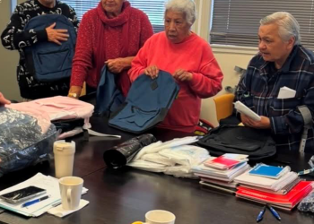
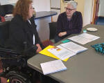
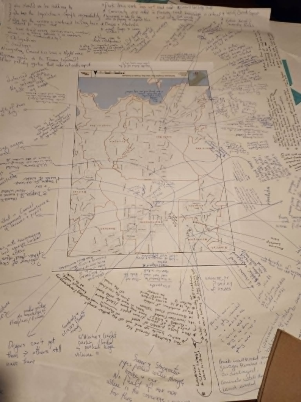
In the weeks that followed, the community continued to lead. At the first community led debrief Hui people wrote their experiences, traced flood paths, talked about the kōura across streets and added to each other’s stories on neighbourhood maps laid out across tables. These story maps and neighbourhood meetings turned lived experiences into a collective voice- revealing not just what happened, but what mattered next: clearer systems, better understanding of the Catchments, and a more human-centred recovery. These insights are now shaping real decisions, influencing infrastructure planning and future resilience efforts. More than a response, this has become a powerful example of what’s possible when communities are connected, trusted, and enabled to lead their own recovery.