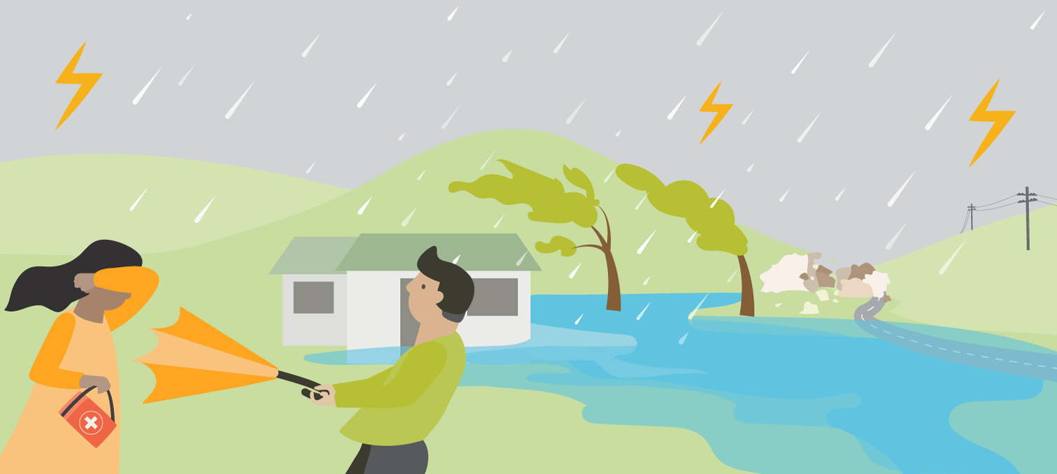
Get prepared for severe weather and storms
Before
-
Keep informed
- Heavy rain can cause flooding. Check to see if you are in an area prone to flooding.
- Check MetService and sign up for severe weather warning notifications through MetService.com.
- Know your local Radio station frequency.
- Follow WREMO and your local council on social media.
-
Create a household plan
- Identify a safe place in your home to gather during a thunderstorm. This should be a place where there are no windows, skylights or glass doors. These could break during a thunderstorm and cause injury.
- Identify where you could evacuate to if flooding occured.
- Make a plan for your pets and livestock.
- Check our household plan page for tips.
- Prepare for power outages: how will you see, cook, keep warm?
-
Emergency Grab Bag and Supplies
- Prepare an emergency Grab Bag with essential items in case you have to evacuate.
- Check our Emergency Supplies page to find out what you may need if severe weather causes power and utility outages.
- Have materials and tools ready to repair damage to windows, such as tarpaulins, boards, and duct tape.
- Have a solar or battery powered radio so you can keep up with the latest news and alerts.
-
Reduce the impacts
- Strong winds can lift large, heavy objects and send them crashing into homes.
- Trim trees, remove any debris or loose items from around your property.
- Tie down, or bring inside, anything that strong winds could pick up or break.
- Clear leaves and debris from external drains to help prevent surface flooding.
- If you have pets or livestock ensure you have a plan for moving them to a safe place away from floodwaters, landslides, powerlines and isolated trees.
-
Review your insurance regularly
- Having insurance cover for your home and contents is important to help you get back on your feet if you suffer damage in a disaster.
During
When a storm occurs:
- Stay inside and don't drive unless absolutely necessary.
- Close all windows and doors and pull curtains and blinds over windows where possible.
- Bring pets inside as they can become unsettled during a storm.
- Move livestock to higher ground where possible.
- Check on your neighbours and anyone who may need help if it is safe to do so.
- Stay informed: Listen to radio and follow our Facebook page WREMOnz and Twitter WREMOinfo. Follow the instructions of emergency services and councils.
- Avoid bathtubs, water taps, and sinks. Metal pipes and plumbing can conduct electricity if struck by lightning. Use your water from your emergency supplies.
- Unplug small appliances that may be affected by electrical power surges.
- During a power outage:
- If you lose power, unplug major appliances. This will reduce the power surge and possible damage when power is restored.
- Don’t use candles due to the risk of fire.
- If you are medically dependent on power, in an emergency call 111 or go to your nearest medical centre.
- Treat all all downed lines/electrical equipment as live at all times.
If you see rising water:
- GTFO (Get The Flood Out): Act quickly if you see rising water. Do not wait for official warnings. Move to higher ground.
- Never try to walk, swim or drive through flood water. Flood water is dangerous, it can contain sewage, toxic chemicals and hidden debris. Even water just 30cm deep can sweep you off your feet and pick up your vehicle.
After
- Stay informed: listen to the radio and check WREMO and your local council social media and websites for further information.
- Check for injuries and get first aid if necessary.
- Help others if you can.
- Contact your local council if your house or building has been severely damaged. Ask your council for advice on how to clean up debris safely.
- Stay alert for extended rainfall, flooding, landslides and hazardous debris, particularly while driving.
- Stay away from damaged areas until the all-clear is given.
- If you lost power, contact your electricity provider if you have not heard from them.
If your property is damaged:
- Do not do anything that puts your safety at risk or causes more damage to your property.
- Contact your insurance company as soon as possible.
- If you rent your property, contact your landlord and your contents insurance company.
- Take photos of any damage. It will help speed up assessments of your claims