Kāpiti: Panoramic view overlooking Kapiti coastline and kapiti island

Kāpiti Coast

The hazards facing Kāpiti range from earthquakes, tsunami and landslides through to floods from both major river systems; the Ōtaki River and Waikanae River. The combination of heavy rain along the length of the Tararua ranges can create a potential high flood risk for Kāpiti. 

There are no alerts for Kāpiti Coast

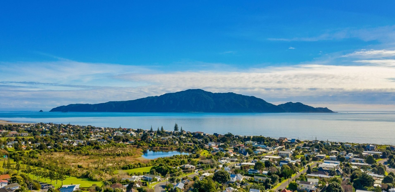
The Kāpiti Coast district sits to the north-west boundary of the Wellington region. The district is home to around 53,673 people and stretches from Paekākāriki in the south to Ōtaki in the north.

Kāpiti tangata whenua have a history dating back around 1000 years to the early moa hunters. 

The area is made up of both residential and rural land. The eastern part of the district is within the Tararua Forest Park and much of the rural land is given over to horticulture.


Kāpiti Coast District Council Facebook Feed

Contact Kāpiti Coast District Council 

Phone: 0800 486 486 or 04 296 4700  

Email: kapiti.council@kapiticoast.govt.nz  

Website: http://www.kapiticoast.govt.nz

Kāpiti Tsunami Evacuation Maps

Kāpiti Community Emergency Hubs