Greater Wellington Region 

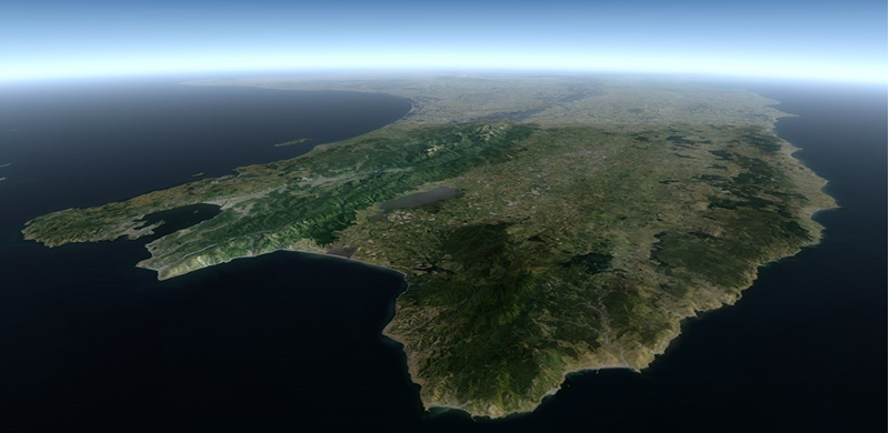
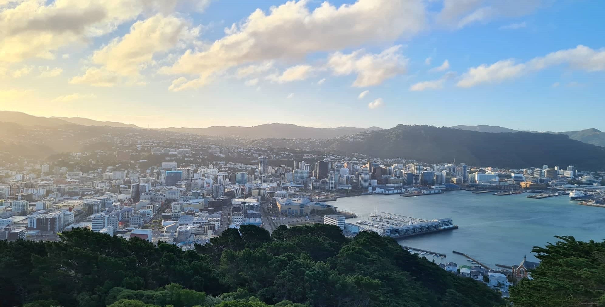
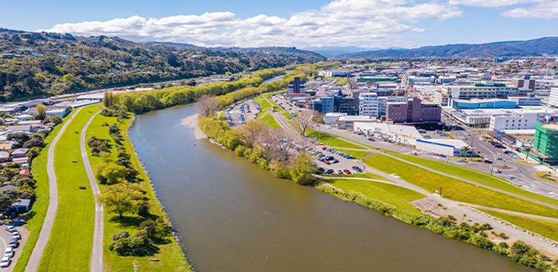
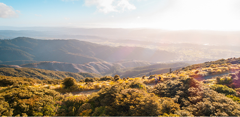
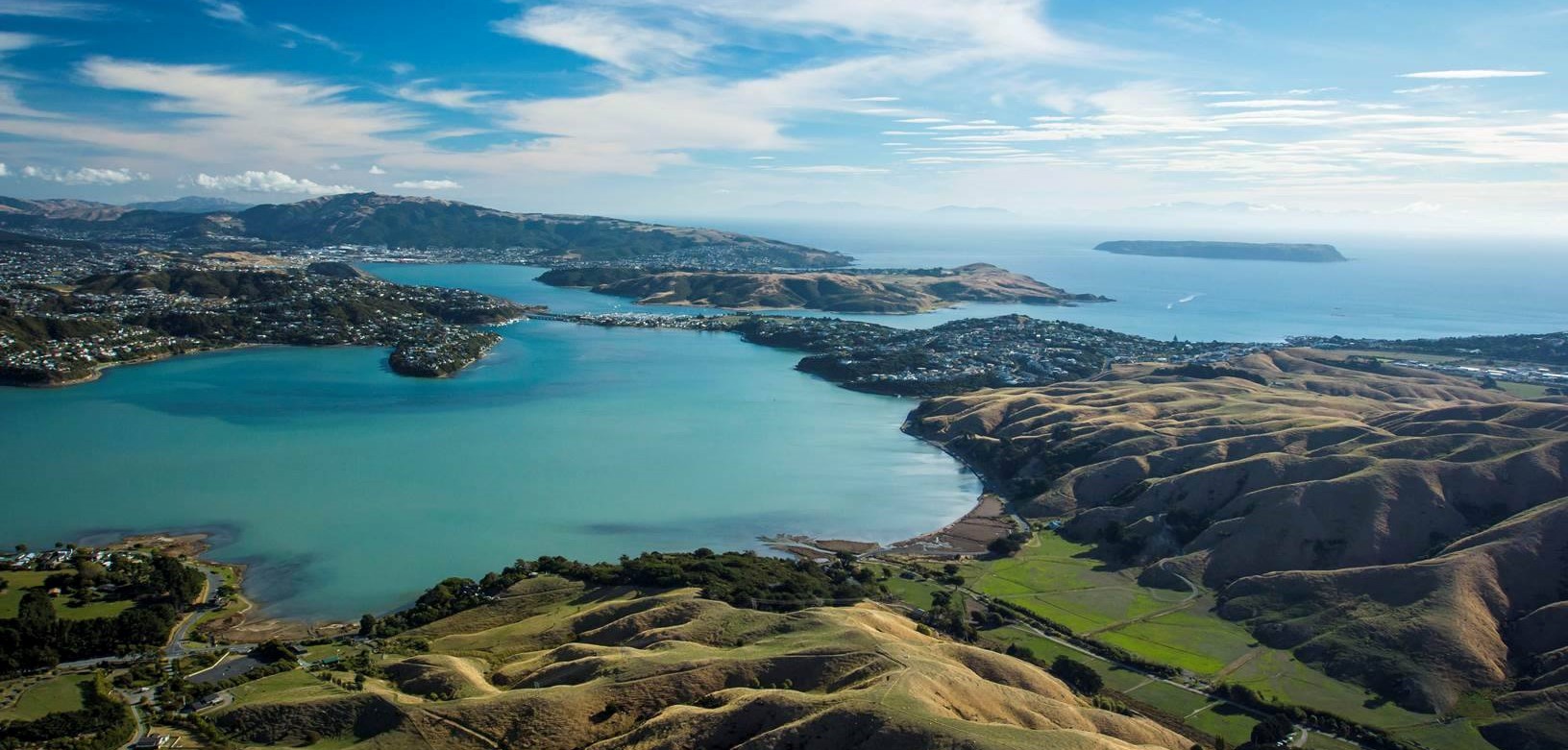
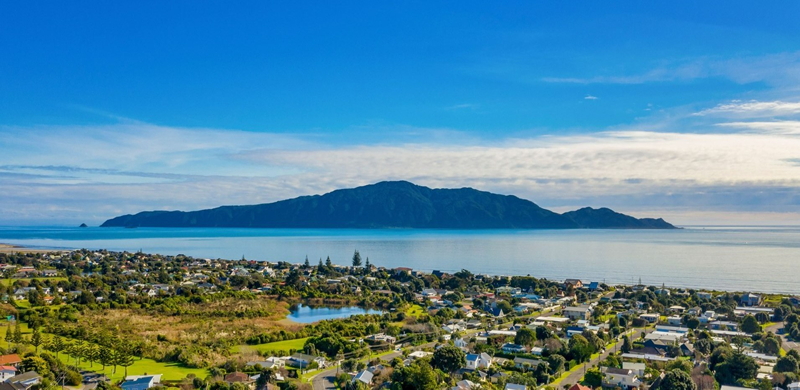
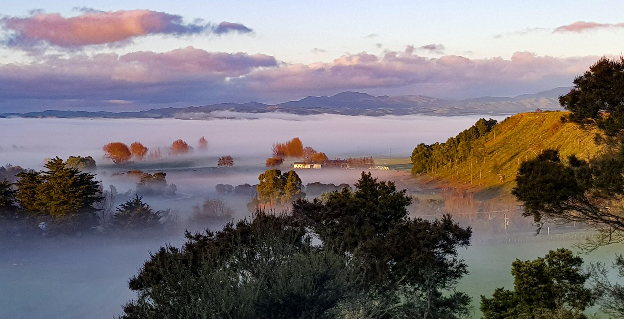
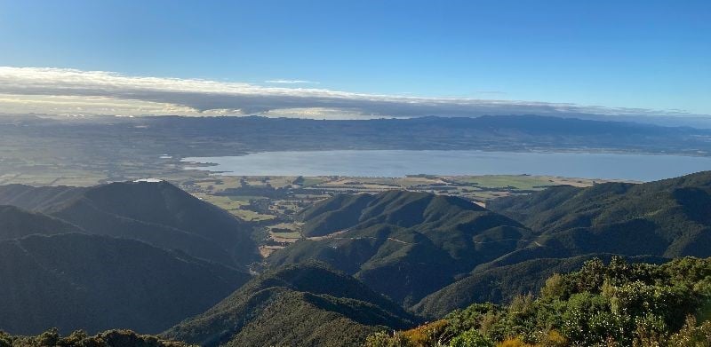
The Greater Wellington region/Te Upoko o te Ika is home to around 506,814 people. The Greater Wellington Regional Council is responsible for environmental management, flood protection and land management, provision of regional parks, public transport planning and funding, and metropolitan water supply. There are various hazards that face the Wellington region including earthquake, tsunami, flooding, storms, and landslides. The Wellington Region’s physical geography and topography, with mountain ranges running north-south and dynamic river systems, mean that during a major earthquake it’s likely the local council areas will be isolated from each other. Within the region there are 4 cities (Wellington, Porirua, Lower Hutt and Upper Hutt), and 4 districts (Kāpiti, South Wairarapa, Carterton and Masteron). 

Aerial photo of the Wellington Region

Wellington City

Wellington City has a population of approximately 202,737 people, and is home to Central Government.

The city is nationally important with the main port link between the North and South Islands, the nexus of State Highways 1 and 2, national railway lines, and the home of the country’s third largest airport. Approximately 80,000 people commute into Wellington City during the business week from across the region. Wellington is subject to various natural hazards including earthquakes, tsunami, storms, flooding and landslides. 

Panoramic view of Wellington harbour, surrounded by buildings and houses

Lower Hutt 

Lower Hutt City is administered by the Hutt City Council and has a population of around 104,532 people. 

The city sits in the lower southern valley of the Te Awa Kairangi/ the Hutt River which is fed by two catchments. Heavy rain along the length of the Tararua can create a potential high flood risk for Hutt Valley. The western edge of the city runs along the same fault line that passes through Wellington city, posing a major threat of earthquake-related damage, including landslides. There is also tsunami threat to a large section of Lower Hutt.  

Panoramic  view of Hutt river and lower hutt city

Upper Hutt 

Upper Hutt City is centred on the northern valley of Te Awa Kairangi / Hutt River and is home to around 43,980 people. The city is administered by the Upper Hutt City Council.

While the main areas of urban development lie along the Te Awa Kairangi /Hutt River valley floor, the city extends to the top of the Remutaka Pass to the north-east and into the Akatarawa ranges to the north-west. Like most of the region it faces hazards like earthquakes, storms, fires, flooding and landslides. However, Upper Hutt is the only district in the Wellington region with no tsunami risk. 

Panoramic view of hills and skyline in Upper Hutt

Porirua City 

Porirua City sits on the western side of the Wellington region and is largely formed around the arms of the Porirua Harbour. Porirua is home to around 56,559 people with the most populated areas being coastal. 

The city is administered by Porirua City Council. Porirua has vulnerable links to adjoining cities due to the steep hills that define the edge of the Porirua basin. Various natural hazards could affect the city including earthquakes, tsunami, storms, flooding and landslides. Porirua Stream and Horokiwi Stream run through the city and coastal and Harbour area are at risk from tsunami. 

Panoramic view overlooking Porirua coastline

Kāpiti Coast 

The Kāpiti Coast is home to around 53,673 people and stretches from Paekākāriki to Ōtaki. The hazards facing Kāpiti range from earthquakes, tsunami and landslides, to floods from both major river systems; the Ōtaki River and Waikanae River.

The combination of heavy rain along the length of the Tararua ranges can create a potential high flood risk for the area. 

Panoramic view overlooking Kāpiti coastline and Kāpiti island

South Wairarapa 

The South Wairarapa District is home to around 10,575 people. 

The district comprises the floodplain of the Ruamahanga River and the associated Lake Wairarapa. Ruamahanga is the longest awa/river in the region at 124km, and feeds from Mt Dundas in the Northern Tararua ranges and discharges into the sea at Lake Ferry. The Wairarapa fault runs along to the west of the district and has seen large earthquakes in the past. Similarly to the rest of the Wairarapa, the South has also been affected by drought in the past. 

Sunset over a rocky shoreline in South Wairarapa

Carterton 

Carterton is home to around 9,198 people and stretches from the Tararuas in the west to Flat Point in the east. The district is administered by the Carterton District Council.

There is risk of flooding across the floodplain. Like the rest of the Wairarapa, it has also been affected by drought in the past. The Wairarapa fault runs along to the west of the district. This fault is one of five major active faults in the Wellington region. 

Panoramic view overlooking Carterton hills and coastline

Masterton 

Masterton is Wairarapa's largest town being home to around 25,557 people. The district is flanked by the Tararua ranges to the west and extends to the east coast just beyond Mataikona.

The Wairarapa fault runs along to the west of the district. This fault is one of five major active faults in the Wellington region. 

Panoramic view overlooking Masterton coastline